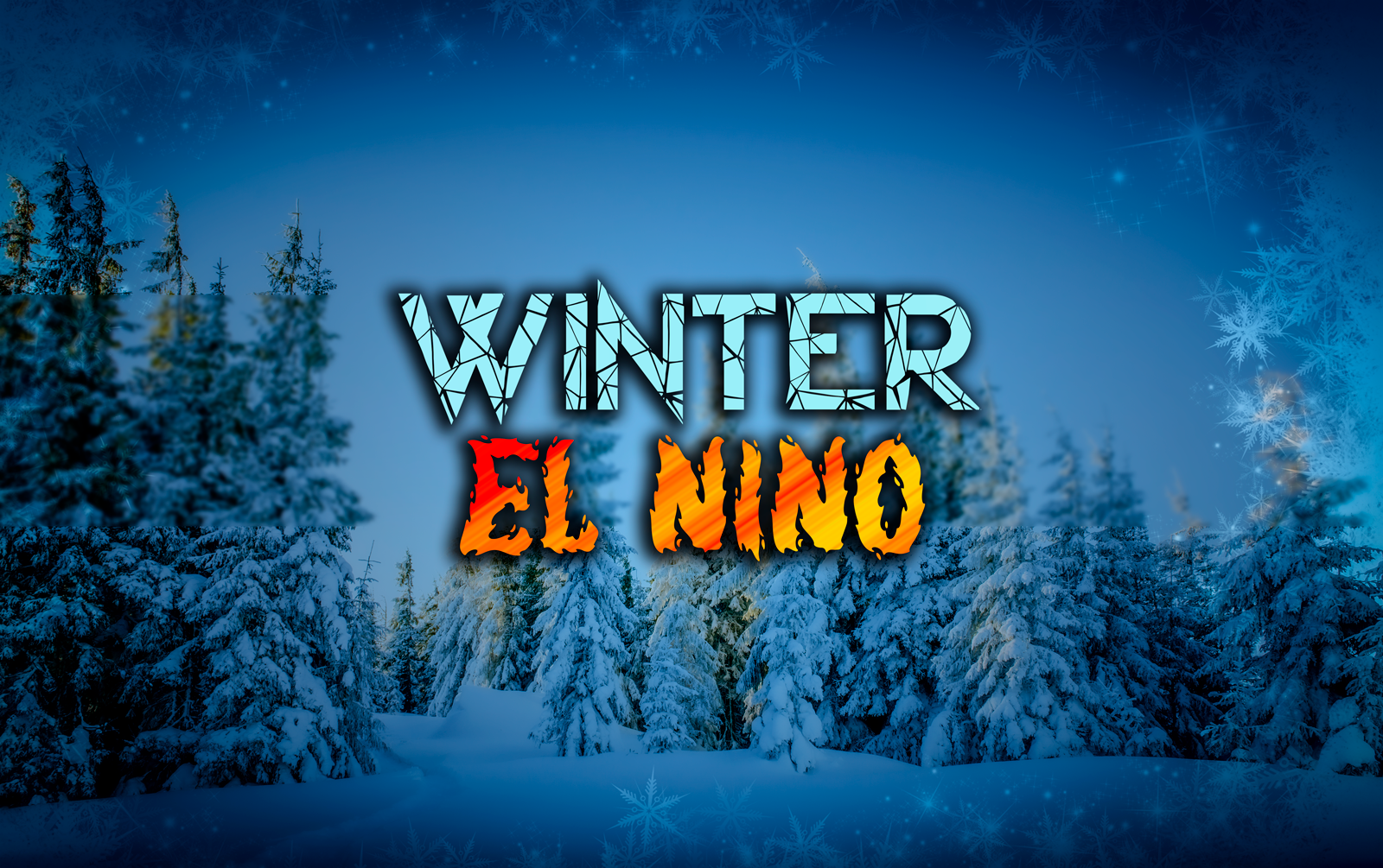
23/24 El Niño
The past few cool and crisp mornings have reminded us of the ultimate truth of fall... winter is coming. As we take a breath to say goodbye to the sunny days and welcome the cool autumn winds, we began to turn our eyes towards the winter.

Last year winter took us for a ride. Here in Michigan, we started off strong with cold days and substantial snowfall, only to fall prey to the warm temperatures and rain that plagued us thru December and January. Meanwhile, the west coast was blessed with nearly double the normal annual snowfall in the Sierras. For first time in years, west Texas got more snow than New York City. Buffalo was lit up in December with an incredible storm only to lose the majority of its snowpack due to above normal temperatures and rain for the majority of January. The good news is the El Nino is churning! This winter could bless some areas that have been forgotten by Mother Nature the past few years with substantial snowfall and cool temperatures.

So, what exactly is El Nino? El Nino is a naturally occurring climate pattern associated with warming of the ocean surface temperatures in the central and eastern Pacific Ocean. These events significantly influence weather patterns and ocean conditions starting in summer and in certain circumstances these weather events will last thru winter. By increasing the amount of precipitation these weather events can cause certain areas to be gifted with loads of fresh snow and a powder fueled ski season.

So, what does this mean for us? Well, to the benefit of Michigan skiers, all signs are pointing towards the El Nino continuing thru winter. Typically, the El Nino play a major role on the outcome of Michigan Winters, and its looking like we may just not have a strong El Nino but a “very” strong El Nino. Typically, El Nino entails a 1-degree Celsius warmer than normal water pattern by the equator. When the water warms to 1.5 degrees above it’s considered a strong El Nino. In fact, since 1950 its only gotten 2 degrees above four times. Lucky for Midwest skiers the average of current weather models is showing that the El Nino will be anywhere from 1.7 to 2.5 degrees Celsius above. This could be fantastic news for Midwest and east coast skiers. Furthermore, the Farmer's Almanac is predicting a cold and snowy winter for the Midwest. The prediction is that by winters start on December 21st the Greats Lakes Region could be expecting blizzard like conditions. This is great for skiing but could make travel around Christmas a bit complicated. The whiteout trends are predicted to continue into the month of January with temperatures dropping even further into February and continuing well into March.

Collectively, this is all fantastic news for Michiganders and our fellow skiers that live on the east coast. If you weren’t a fan of winter in the Midwest last year this could be a winter season that offers up what we are all looking for.

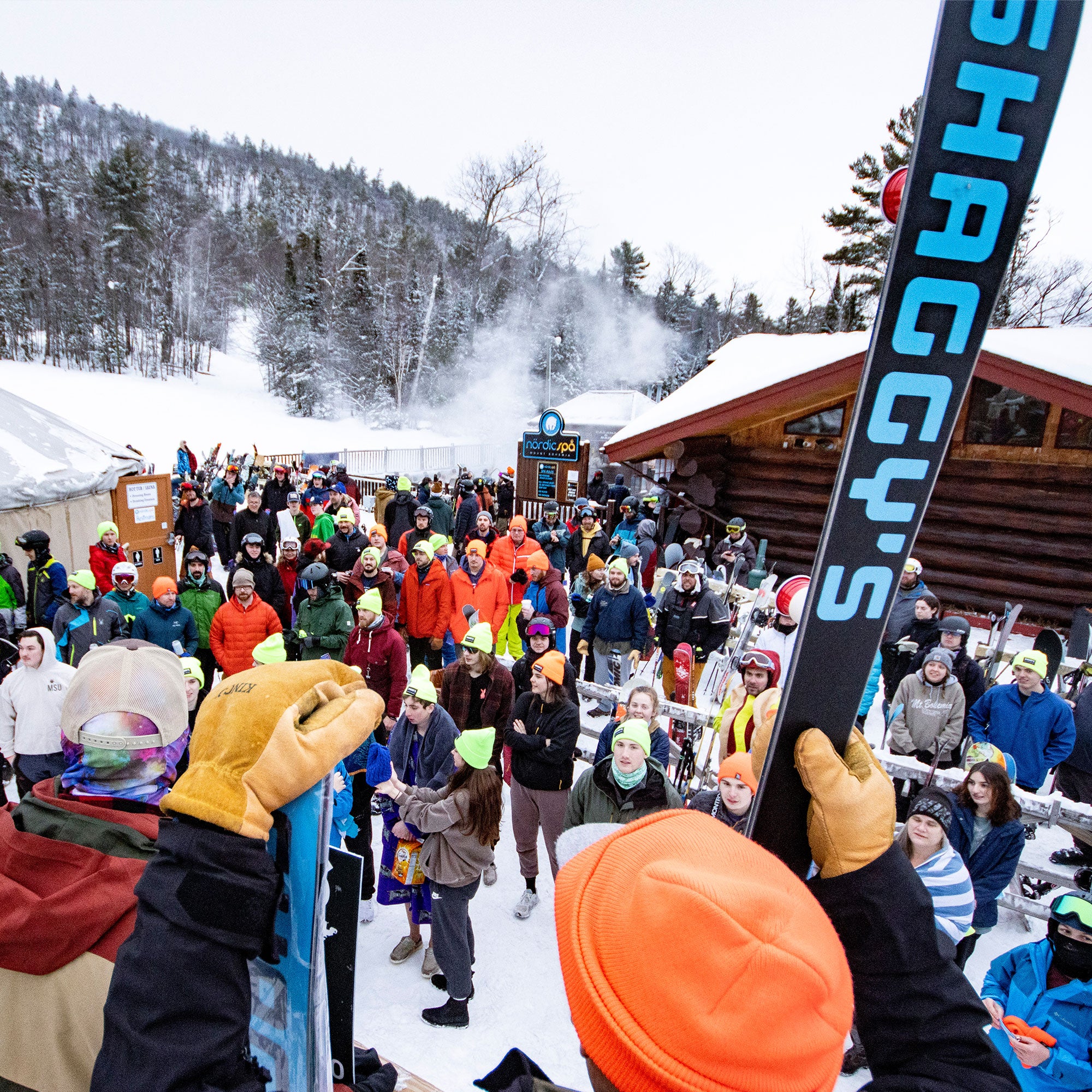
As always, join the Shaggy's Family, and pray for snow!